
Häftad, Engelska, 2024
2 084 kr
Skickas inom 11-20 vardagar
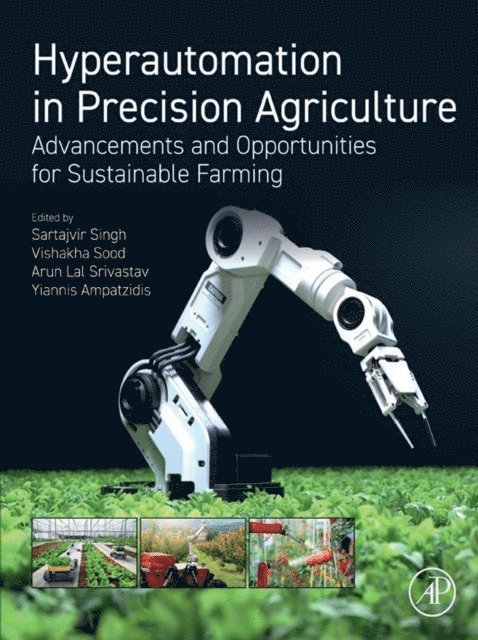
Hyperautomation in Precision Agriculture: Advancements and Opportunities for Sustainable Farming is the first book to focus on the integration of multiple techniques and technologies to create an ecosystem sustaining approach that doesn’t compromise soil health or environmental safety as it increases crop yield. The book highlights the integration of state-of-the-art tools and working models to address the various challenges in the field of agriculture. It also identifies and discusses the potential and challenges of hyperautomation in sustainable agriculture with respect to efficiency improvement and human enhancement of automated operations.Hyperautomation is a true digital transformation in sustainable agriculture utilizing advanced techniques such as robotic process automation (RPA), digital process automation (DPA), unmanned aerial vehicle (UAV), controlled-environment agriculture (CEA), remote sensing, internet of things (IoT), crop modeling, precision farming, sustainable yield, image analysis, data fusion, artificial intelligence (AI), machine learning (ML), and deep learning (DL).Provides a comprehensive overview of the current state-of-the-art of automation in agricultureEnables improved productivity and resource optimizationPresents advanced monitoring/mapping methods in soil properties, nutrients, crop growth, and yield