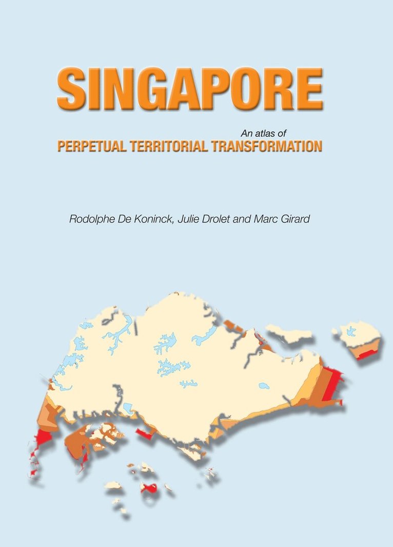
Ever since Singapore became an independent nation in 1965, its government has been intent on transforming the island’s environment. This has led to a nearly constant overhaul of the landscape, whether still natural or already manmade. Not only are the shape and dimensions of the main island and its subsidiary ones constantly modified so are their relief and hydrology. No stone is left unturned, literally, and, one could add, nor is a single cultural feature, be it a house, a factory, a road or a cemetery. Given one of Singapore’s unique features, namely that the state is the sole landlord, all types of property in all parts of the island, rural as well as urban, were and remain subject to expropriation, fortunately always with due compensation. This atlas illustrates, essentially through diachronic mapping of the changing distribution of all forms of land use, the universality of what has become a tool of social management. By constantly “replanning” the rules of access to space, the Singaporean State is thus redefining territoriality, even in its minute details. This is one reason it has been able to consolidate its control over civil society, peacefully and to an extent rarely known in history.
Since 1965, when it became a fully independent city-state, Singapore has been an effervescent laboratory of economic, social and environmental transformation and innovation. The island of Singapore is small (currently about 720 sq km), and the government has thoroughly transformed and extended the lands under its control to serve the needs and ambitions of its citizens. The systematic overhaul of the Singaporean environment reflects a deliberate policy of social transformation, a revolution controlled and monitored from above.Singapore's accomplishments in the realm of economic and social development are of great importance but have received little attention. Based on an extended series of diachronic maps, this book illustrates the nature and depth of the territorial changes that have occurred since the early 1960s. The commentary that accompanies the maps shows how Singapore has used this ongoing territorial transformation to support its position in a globalized economy, and also as a tool of social and political management.