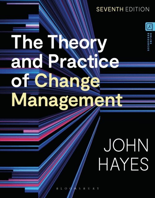
Häftad, Engelska, 2025
830 kr
Skickas inom 7-10 vardagar
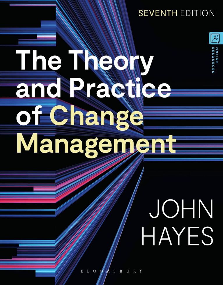
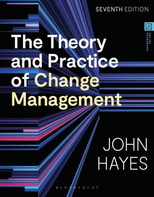
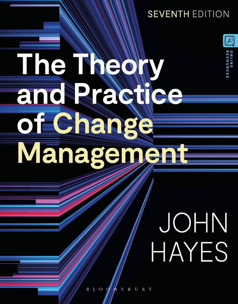
With a clear organizing framework, based on a process model of change, and vast breadth of coverage, John Hayes’ best-selling textbook covers all stages of change management. This 7th edition equips you with the practical tools, and knowledge of recent academic research and thinking, to manage change in all types of organizations. It embeds learning with a range of pedagogical tools, including experiential learning exercises, research reports, in-text examples and case studies from real-life organizational situations.Taking a managerial approach, this textbook is suitable for undergraduate, postgraduate and MBA students studying change management as well as for practitioners.New to this edition: -Chapter on trust in change management exploring the importance of trust in the change process-More on responding to big bang disruptions such as the impact of Covid 19 on businesses -New content on how cognitive style can affect sensitivity to emerging issues-A new change management tool, the Cognitive Style Index, for measuring cognitive style hosted on the companion website and discussed in the book-Discussion of the effects of working from home and hybrid working practices, and the need for modular and systemic diagnosis-More tables and many new case studiesThe companion website provides a range of resources to support teaching and learning, including narrated audio-visual tutorials, a testbank, interactive quizzes, detailed case study briefings and bonus cases, and interactive change management tools.