229 kr
Skickas
229 kr
Skickas
360 kr
Skickas inom 3-6 vardagar
211 kr
Skickas
211 kr
Skickas
241 kr
Skickas
241 kr
Skickas
178 kr
Skickas
229 kr
Skickas
208 kr
Skickas
206 kr
Skickas
241 kr
Skickas
200 kr
Skickas
178 kr
Skickas
229 kr
Skickas
201 kr
Skickas
162 kr
Läs direkt efter köp
165 kr
Läs direkt efter köp
214 kr
Läs direkt efter köp
255 kr
Läs direkt efter köp
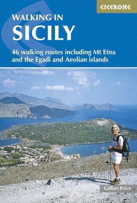
A guidebook to 46 graded walks exploring the Sicily and the adjoining Aeolian and Egadi Islands. Exploring the dramatic scenery of this world famous region, the walks are suitable for beginner and experienced walkers alike and are perfect for year-round walking.
Walks range from 2km to 23km (1-14 miles) in length with most walks being enjoyed in 3-4 hours. They start from key areas including Catania, Messina, Taormina.
Sketch maps included for each walk Information on Travelling Around Sicily, Accommodation, and Food and Drink Highlights include Mount Etna, Madonie, the Nebrodi mountains and the Aeolian trail Short Italian-English glossary Sized to easily fit in a jacket pocket220 kr
Läs direkt efter köp
214 kr
Läs direkt efter köp
257 kr
Läs direkt efter köp
249 kr
Läs direkt efter köp
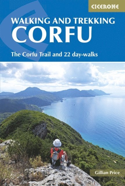
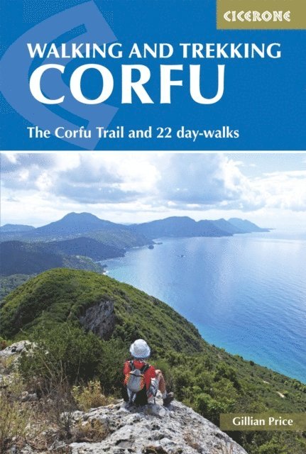
A guidebook to 22 day walks on the Greek island of Corfu, plus the Corfu Trail. Exploring both the island’s stunning coast and unspoilt interior, the routes are graded from easy to strenuous with options to suit most abilities and ambitions.
The day walks range from 4 to 18km (2–11 miles) and can be enjoyed in 2–5 hours. The 150km (93 mile) Corfu Trail traverses the island from south to north and is presented in 10 stages.
Clear route description and sketch maps included for each walk Detailed information on refreshments and access Suggestions for walking bases Accommodation listings for the Corfu Trail Local points of interest, plants and wildlife and Greek cuisine206 kr
Läs direkt efter köp
212 kr
Läs direkt efter köp
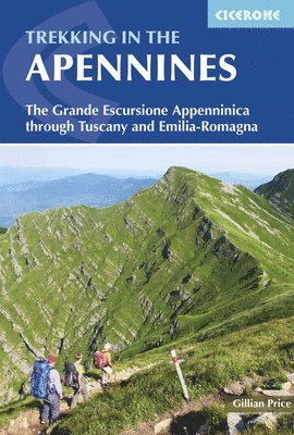
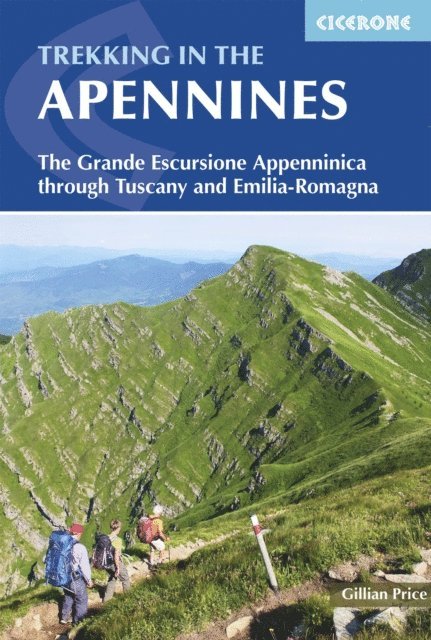
A guidebook to trekking the Grande Escursione Appenninica (GEA), a 400km waymarked trail through Italy’s Appenine mountains. Extending from Bocca Trabaria to Passo Due Santi through the regions of Tuscany and Emilia-Romagna, the route is straightforward and suitable for a broad range of trekkers, with walking on paths, forestry tracks and quiet lanes.
The GEA is presented in 23 day stages, graded by difficulty, of between 8 and 25km, with accommodation available at each stage end (though camping is also possible on some stages). With convenient access by public transport, it is also easy to walk a shorter section of the route.
Route description illustrated with sketch mapping and elevation profiles Comprehensive notes on accommodation and facilities Peaks including Monte Prado (the highest peak in Tuscany) Advice on preparation and planning Sized to easily fit in a jacket pocket235 kr
Läs direkt efter köp
234 kr
Läs direkt efter köp
237 kr
Läs direkt efter köp
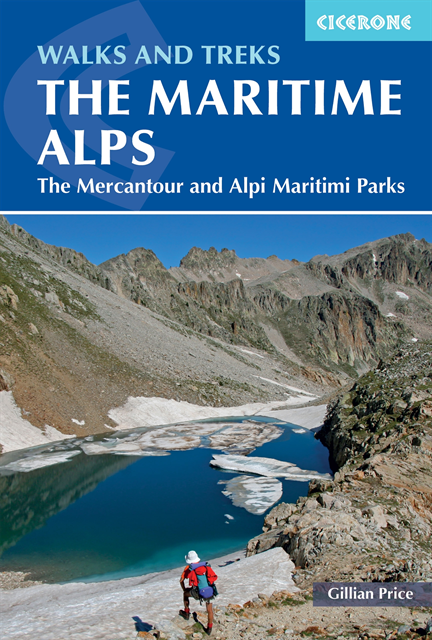
A guidebook to 18 graded day walks and 6 multi-day treks across the Maritime Alps. Exploring the varied scenery of the border between France and Italy, the day walks are suitable for beginner and experienced walkers alike and treks are suitable for hikers with some alpine trekking experience.
The day walks range from 6 to 20km (4–12 miles) in length and can be enjoyed in 3–7 hours. The multi-day treks vary in length from 22 to 67km (14-42 miles), can be completed in 2–7 days, and include a 5-day traverse of the Parc National du Mercantour and a 7-day traverse of the Parco Naturale delle Alpi Marittime.
Sketch maps included for each walk Detailed information on accommodation and facilities Advice on preparation and planning Easy access from Nice255 kr
Läs direkt efter köp
257 kr
Läs direkt efter köp
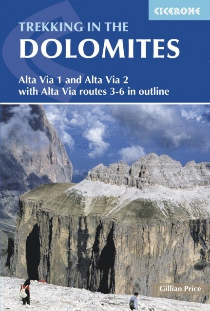
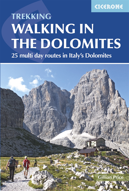
A guidebook to 25 multi-day treks in the Dolomites of north-east Italy. The routes range from moderate to challenging in difficulty, with varying degrees of mountain traverses, scrambles and exposure so a good head for heights is needed.
The treks range from 11 to 41km (7–25 miles) with daily distances of between 5 and 15km (3–9 miles). Each trek is designed to be hut-to-hut and last 2–4 days. The routes explore the major mountain groups of the UNESCO World Heritage site including Sella and Marmolada.
1:100,000 maps are included for each walk Treks feature notes on access, difficulty and recommended maps for navigation on the ground Public transport and accommodation options are detailed