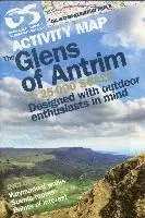
1: 25,000 scale Causeway Coast and Rathlin Island Activity Map - printed on water resistant paper - includes waymarked walks, surfing beaches, canoe trail access points, Giants Causeway World Heritage Site, Northwest 200 Motorcycle Road Race Route, and Rathlin Island.
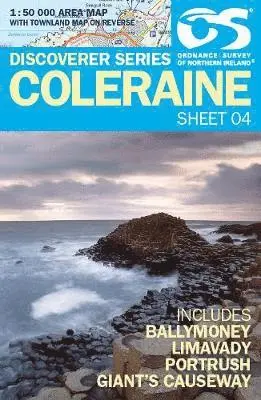
The maps produced by Ordnance Survey Ireland are called the Discovery Series. Discoverer Sheet No. 4 covers Coleraine and includes Ballymoney, Limavady, Portrush and Giant's Causeway.
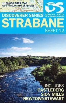
The maps maps produced by Ordnance Survey Ireland are called the Discovery Series. Discoverer Sheet No. 12 covers Strabane and includes Castlederg, Sion Mills and Newtownstewart.
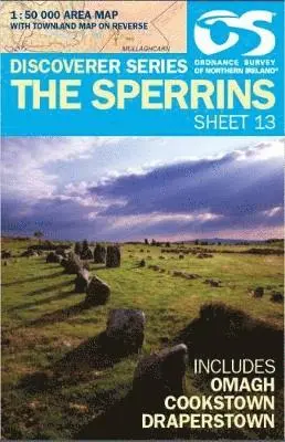
The maps produced by Ordnance Survey Ireland are called the Discovery Series. Discoverer Sheet No. 13 covers The Sperrins and includes Omagh, Cookstown and Draperstown.