
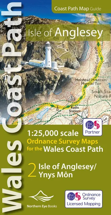
Llyn Peninsula Coast Path Map (WCP)
1:25 000 scale OS mapping for the Llyn Peninsula
Häftad, Engelska, 2020
Del i serien OS Map Books: Wales Coast Path
135 kr
Skickas . Fri frakt över 249 kr.
Beskrivning
Enhanced, large scale (1:25,000) Ordnance Survey mapping in a handy atlas format with all the mapping you need to walk the Llyn Peninsula section of the Wales Coast Path. Continuous OS mapping covering the Wales Coast Path between Bangor and Porthmadog. Contains extracts from large scale Explorer maps 253 and 254. - Large scale OS mapping for the complete coast of the Llyn Peninsula in a handy atlas format. - Highlighted official route of the Wales Coast Path. - On-map symbols showing amenities at main towns and villages. - Introduction with attractive photo mosaic. - Additional useful information
Produktinformation
Utforska kategorier
Recensioner i media
Hoppa över listan





Du kanske också är intresserad av
- -52%
Pixi adventskalender 2025 : Med böcker av Maria Trolle, Maria Nilsson Thore, Johan Anderblad, Filippa Widlund, Mårten Melin Elsa Beskow, Lotta Olsson mfl
Flera Författare
Häftad, 2025
129 kr269 kr
- Signerad!
- Nyhet
- -48%
- 4 pocket för 3
Del 2