
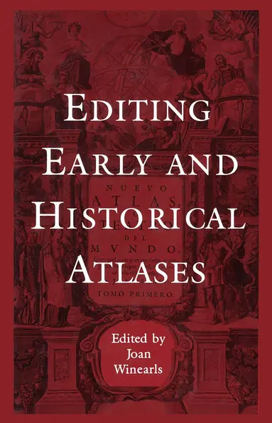
Mapping Upper Canada, 1780-1867
An Annotated Bibliography of Manuscript and Printed Maps
E-bok
PDF, Engelska, 19913 045 kr
Läs direkt i Bokus Reader – eller ladda ned till din enhet (PDF kräver ofta zoom och scroll på små skärmar).
Beskrivning
The early face of what is now Ontario was documented in an extraordinary number of maps. Thousands of them have survived to the present day - maps of the area as a whole, its regions, and its cities and towns. In this bibliography Joan Winearls offers a guide to maps of the province of Upper Canada/Canada West, manuscript and printed, from the beginning of British settlement up to Confederation.Each entry includes a physical description of the map, brief annotations including associated documents and sources, and information about where the map is now found. The book as a whole provides a unique resource for historians, geographers, genealogists, surveyors, archaologists, and local history buffs.Appendices examine township surveys; registered plans of urban subdivisions, this describing much of the evolution of towns; nautical charts of the Great Lakes; and boundary surveys. The bibliography is fully indexed by author, place, and subject.
Produktinformation
Utforska kategorier
Mer om författaren
Hoppa över listan
Du kanske också är intresserad av
Bandwidth-Efficient Digital Modulation with Application to Deep Space Communications
Marvin K. Simon
E-bok
20053 045 kr