
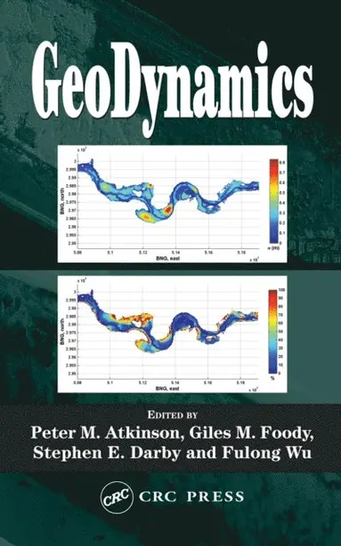
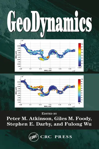
GeoDynamics
E-bok
PDF, Engelska, 20044 156 kr
Läs direkt i Bokus Reader – eller ladda ned till din enhet (PDF kräver ofta zoom och scroll på små skärmar).
Fler format och utgåvor
Beskrivning
While remote sensing gives a surface depiction of the world, its recent convergence with GIS enables richer depictions that can be used to simulate physical processes, identify trends, and make more accurate predictions.
GeoDynamics is based on specialized lectures from an international field of experts, addressing remote sensing, spatially
GeoDynamics is based on specialized lectures from an international field of experts, addressing remote sensing, spatially
Produktinformation
Utforska kategorier





Hoppa över listan

Du kanske också är intresserad av
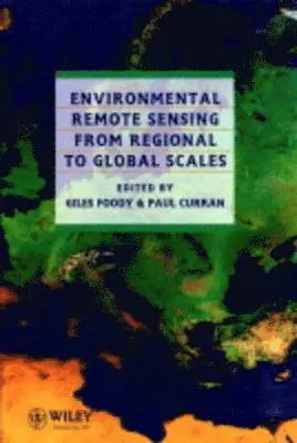
Environmental Remote Sensing From Regional to Global Scales
Giles M. Foody, Paul J. Curran
Inbunden, 1994
4 847 kr
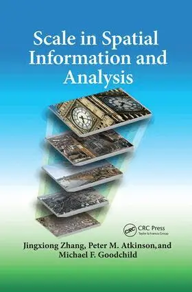
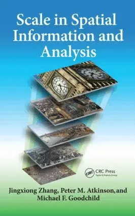
Scale in Spatial Information and Analysis
Jingxiong Zhang, Peter Atkinson, Michael F. Goodchild
Häftad, 2017
1 320 kr
Scale in Spatial Information and Analysis
Michael F. Goodchild, Peter Atkinson, Jingxiong Zhang
E-bok
20141 576 kr
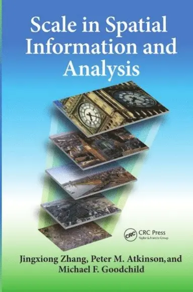
Scale in Spatial Information and Analysis
Jingxiong Zhang, Peter Atkinson, Michael F. Goodchild
Inbunden, 2014
3 449 kr