

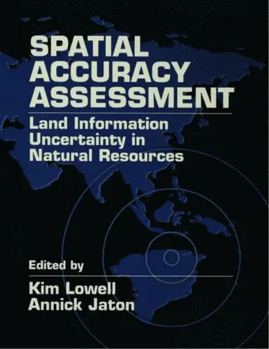
Spatial Accuracy Assessment
Land Information Uncertainty in Natural Resources
E-bok
Engelska, 20002 829 kr
Läs direkt i Bokus Reader – eller ladda ned till din enhet
Fler format och utgåvor
Beskrivning
Spatial technologies such as GIS and remote sensing are widely used for environmental and natural resource studies. Spatial Accuracy Assessment provides state-of-the-science methods, techniques and real-world solutions designed to validate spatial data, to meet quality assurance objectives, and to ensure cost-effective project implementation.
Produktinformation
Utforska kategorier
Hoppa över listan




Du kanske också är intresserad av
- Nyhet
Del 1
Landscape Analysis and Visualisation
Christopher Pettit, William Cartwright, Ian Bishop, Kim Lowell, David Pullar, David Duncan
Inbunden, 2008
2 182 kr
Landscape Analysis and Visualisation
David Duncan, David Pullar, Kim Lowell, Ian Bishop, William Cartwright, Christopher Pettit
E-bok
20082 840 kr
Landscape Analysis and Visualisation
Christopher Pettit, William Cartwright, Ian Bishop, Kim Lowell, David Pullar, David Duncan
Häftad, 2014
2 180 kr
- Signerad!
SIGNERAD - Woka ur! Handbok i sydost- och östasiatisk matlagning
Vendela Wikström
Kartonnage, 2026
259 kr
- Nyhet
- -52%
Pixi adventskalender 2025 : Med böcker av Maria Trolle, Maria Nilsson Thore, Johan Anderblad, Filippa Widlund, Mårten Melin Elsa Beskow, Lotta Olsson mfl
Flera Författare
Häftad, 2025
129 kr269 kr
- 4 pocket för 3
Del 2