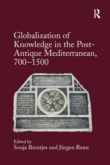
Globalization of Knowledge in the Post-Antique Mediterranean, 700-1500
Sonja Brentjes, Jürgen Renn
Häftad, 2020
733 kr
AvSonja Brentjes,Asa Simon Mittman
Del i serien Elements in the Global Middle Ages
282 kr
Kommande. Bevaka för att få ett mejl när produkten kan beställas.
Sonja Brentjes, Jürgen Renn
Häftad, 2020
733 kr
Sonja Brentjes
3 046 kr
Sonja Brentjes
3 046 kr




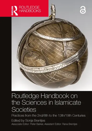




Sonja Brentjes, Asa Simon Mittman, Cordell D. K. Yee
Inbunden, 2026
897 kr

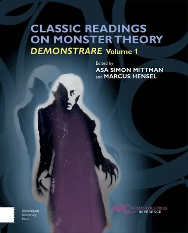
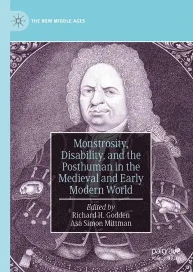
Asa Simon Mittman, Richard H. Godden
2 087 kr
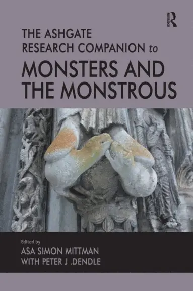
Peter J. Dendle, Asa Simon Mittman
1 411 kr
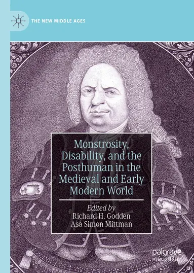
Richard H. Godden, Asa Simon Mittman
Inbunden, 2019
1 673 kr
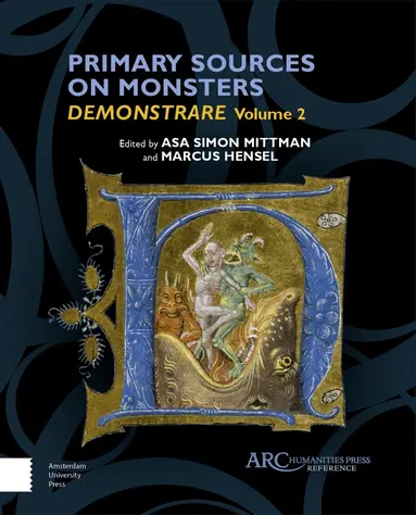


Asa Simon Mittman, Peter J. Dendle
Häftad, 2013
1 241 kr