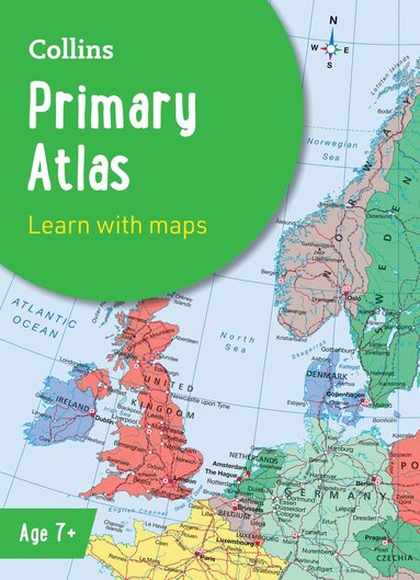
Collins Primary Atlas
Ideal for Learning at School and at Home
114 kr
Tillfälligt slut. Bevaka för att få ett mejl när produkten kan beställas.
Fler format och utgåvor
Beskrivning
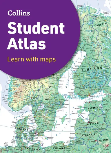
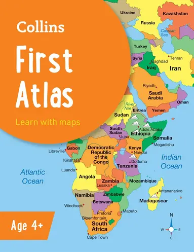
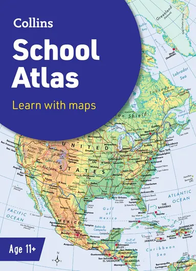
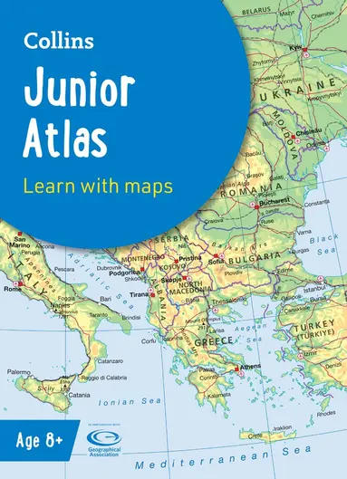
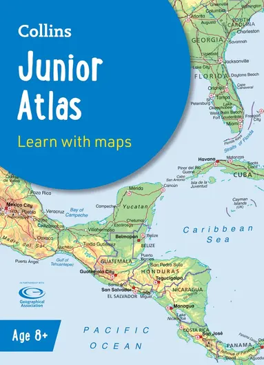
The must-have atlas for children aged 7-11 Collins Primary Atlas is a great introduction to mapping of the UK, Europe and all major regions of the world. It supports the Key Stage 2 curriculum and is suitable for children aged 7-11 years.This new, fully up-to-date edition includes information on map reading skills, the meaning of scale and measuring distances, and is ideal for classroom use or home learning.Reference maps:• Informative, politically coloured and easy-to-read• National capitals and major cities are clearly labelled• Maps are supported with national flags and basic national statisticsContinental maps:• Linked to regional mapping• Supported by a selection of aerial and terrestrial photographs• Relief maps show layer colouring and highlight major physical featuresThis atlas is also available in a Kindle format. The next atlas in the series is the Collins School Atlas, suitable for ages 11+ and KS3.
Produktinformation
Utforska kategorier
Mer om författaren
Recensioner i media
Betyg & recensioner
5/5
Betyg & recensioner
5/5